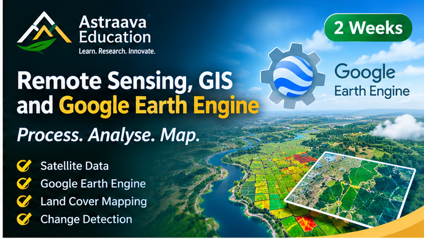
About Course
This fourteen-day professional training programme provides comprehensive practical knowledge of Remote Sensing, GIS, and cloud-based geospatial processing using Google Earth Engine (GEE).
Participants will learn the principles of satellite remote sensing, geospatial data management, satellite image preprocessing, vegetation indices, land-use/land-cover mapping, and spatial analysis. Special emphasis will be placed on Google Earth Engine, enabling participants to process large volumes of satellite imagery without requiring high-performance local computing infrastructure.
The course introduces JavaScript programming in GEE, satellite image collections, cloud masking, image compositing, spectral indices, supervised classification, and geospatial visualization. Participants will complete a practical project using real satellite datasets.
Course Content
Topic 1: Foundation to the Remote Sensing
-
Day 1: Remote Sensing Fundamentals
-
Day 2: Satellite Data and Missions
Topic 2: GIS and Spatial Analysis
Topic 3: Spatial Analysis on Cloud
Student Ratings & Reviews