About Course
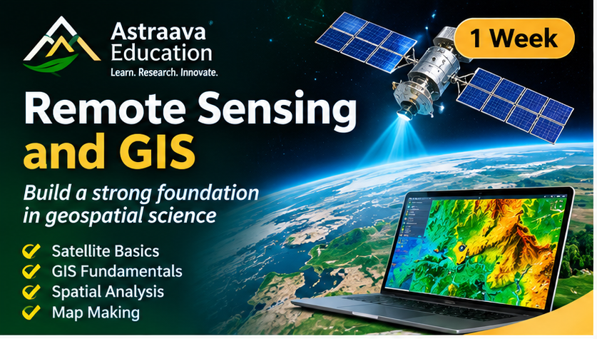
Build a strong foundation in Remote Sensing and Geographic Information Systems (GIS) through this intensive, hands-on training programme. The course introduces the principles of satellite remote sensing, spatial data, image interpretation, and geospatial analysis.
Participants will learn how satellite images are acquired and interpreted, understand different spatial data formats, and explore how GIS tools are used to analyse and visualise geographical information. Practical sessions will focus on working with geospatial datasets and performing basic mapping and spatial analysis using industry-relevant GIS software.
By the end of the course, participants will be able to understand fundamental remote sensing concepts, manage basic spatial datasets, create thematic maps, and perform introductory GIS operations.
Key learning areas
-
Fundamentals of Remote Sensing and GIS
-
Satellite sensors, resolutions, and image characteristics
-
Introduction to optical satellite imagery
-
Raster and vector data management
-
Coordinate reference systems and projections
-
Basic spatial analysis and thematic mapping
-
Introduction to QGIS and geospatial visualisation
Ideal for: Students, fresh graduates, researchers, and beginners who want to enter the field of Remote Sensing and GIS.
Course Content
Basics of Remote Sensing
-
Day 1: Introduction to Remote Sensing
-
Day 2: Satellite Data and Image Interpretation
Basics of GIS and Spatial Data
Mini Project and Assessment
Student Ratings & Reviews