Remote Sensing, GIS, Google Earth Engine and Introduction to Python for GeoAI – Three-Week Course
About Course
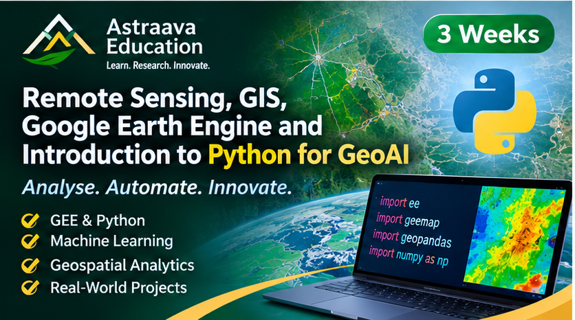
This twenty-one-day interdisciplinary training programme is designed to provide participants with practical expertise in Remote Sensing, GIS, Google Earth Engine, and introductory Python programming for geospatial applications and GeoAI.
The programme begins with the fundamentals of satellite remote sensing and GIS, followed by hands-on training in Google Earth Engine for satellite data processing, spectral index calculation, temporal analysis, and land-use/land-cover classification.
The final component introduces Python programming for geospatial data science, including NumPy, Pandas, Matplotlib, Rasterio, GeoPandas, and introductory machine learning algorithms. Participants will understand how Python can be used to automate geospatial workflows, analyse satellite imagery, and develop foundational GeoAI applications.
Course Content
Remote Sensing and GIS Fundamentals (Days 1–5)
-
Day 1: Introduction to Remote Sensing
-
Day 2: Satellite Data and Image Interpretation
-
Day 3: GIS Fundamentals
-
Day 4: GIS Data Processing
-
Day 5: Satellite Image Processing and Mapping
Module 2: Google Earth Engine and Cloud-Based Geospatial Analysis (Days 6–13)
Module 3: Python Programming for Geospatial Analysis and Introductory GeoAI (Days 14–21)
Student Ratings & Reviews