Customized Professional Training in Remote Sensing, GIS, Google Earth Engine, Python & GeoAI
About Course
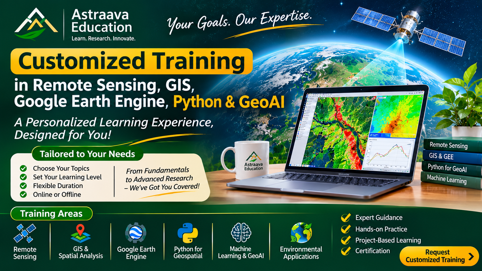
Not every learner has the same objectives, background, or technical requirements. Astraava Education offers customized professional training programmes designed around individual learning needs, academic research requirements, professional goals, and real-world project applications.
This programme provides flexible, personalized training in Remote Sensing, Geographic Information Systems (GIS), Google Earth Engine (GEE), Python programming, Geospatial Data Science, Machine Learning, and GeoAI.
Participants can select specific topics, software, datasets, analytical techniques, and applications according to their requirements. The training can range from introductory concepts to advanced technical workflows, research-oriented applications, and project-based learning.
Whether you are a student preparing for research, a postgraduate scholar developing a dissertation, a professional improving technical skills, or an institution seeking specialized geospatial training, the programme can be structured to match your objectives.
Available Training Areas
-
Remote Sensing: Satellite image interpretation, optical and SAR data processing, Landsat, Sentinel-1, Sentinel-2 and MODIS.
-
GIS and Spatial Analysis: QGIS, ArcGIS, raster and vector processing, geoprocessing, terrain analysis and spatial modelling.
-
Google Earth Engine: JavaScript programming, satellite image processing, time-series analysis, classification, change detection and automation.
-
Python for Geospatial Applications: Python programming, NumPy, Pandas, Rasterio, GeoPandas, Shapely and geospatial automation.
-
Machine Learning and GeoAI: Random Forest, SVM, classification, regression, feature engineering, model validation and introductory deep learning.
-
Environmental and Ecological Applications: Forest monitoring, vegetation dynamics, forest fire analysis, carbon assessment, land cover mapping, flood and drought analysis.
-
Advanced Research Applications: Geospatial modelling, multi-source data integration, spatial prediction, uncertainty assessment and research workflows.
Course Content
Remote Sensing
GIS and Spatial Analysis
Google Earth Engine
Python for Geospatial Applications
Machine Learning and GeoAI
Environmental and Ecological Applications
Advanced Research Applications
Student Ratings & Reviews
Especially loved how you structured the entire focus area of dieting into most important ones to lesser ones.